
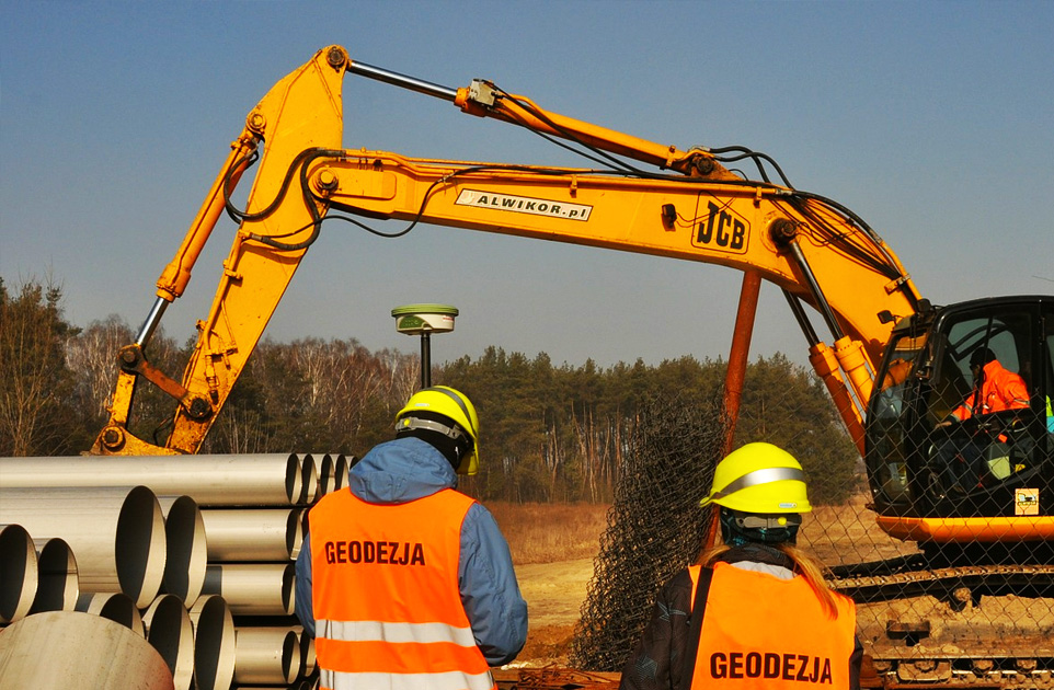
Traditional geodesy
– staking out and site and height measurements,
– developing map for design purposes,
– staking out and inventories of buildings and utility networks,


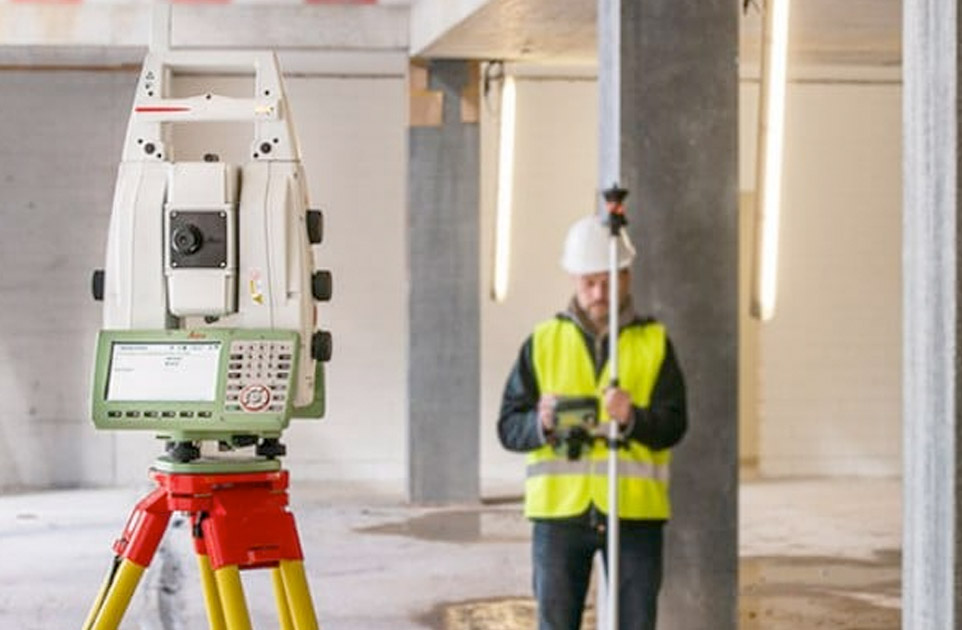
– staking out and site and height measurements,
– developing map for design purposes,
– staking out and inventories of buildings and utility networks,